Best Surveying and Mapping Training Solutions
We offer professional training in surveying and mapping to enhance technical skills in measurement, digital mapping, and geospatial data analysis. With experienced instructors and structured training modules, we ensure participants gain indepth understanding and practical skills applicable in the field.
Improves Competency
Enhances Accuracy & Efficiency in equipment and mapping software use
Industry-Ready Training for students, professionals, and institutions
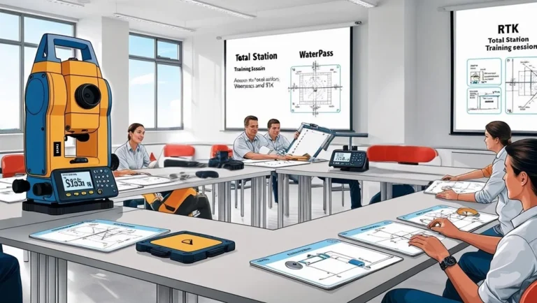
- Topographic Survey Training – Field measurement techniques using Total Station, Geodetic GPS, and Leveling Instruments.
- Hydrographic Survey Training – Use of Echo Sounder, ADCP, and bathymetric data analysis.
- Photogrammetry & Drone Mapping Training – Aerial mapping techniques with drones and image processing.
- GIS Training – Spatial data processing and analysis using ArcGIS and QGIS software.
- LiDAR & Mobile Mapping Training – LiDAR data processing and detailed mapping analysis.
- Geospatial Data Processing Training – Mapping data analysis and visualization in GIS and CAD formats.