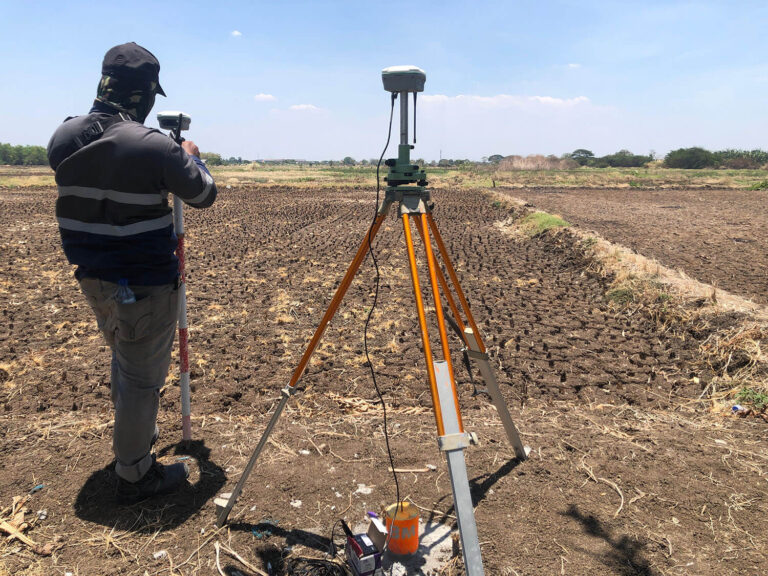
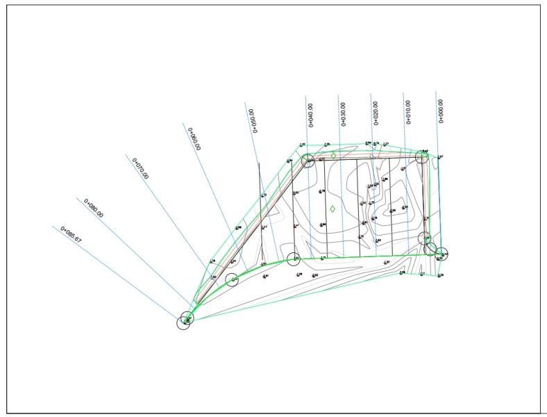
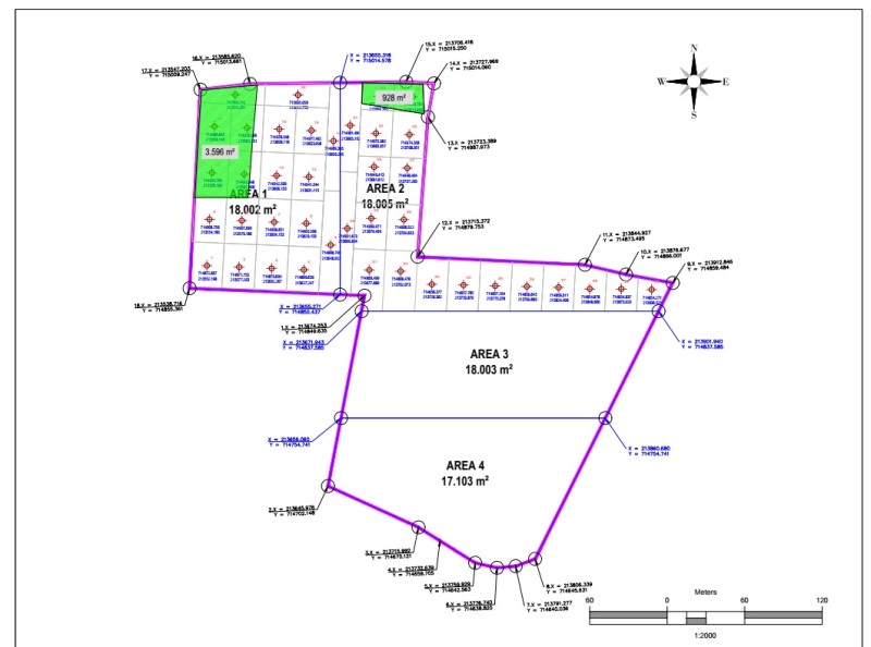
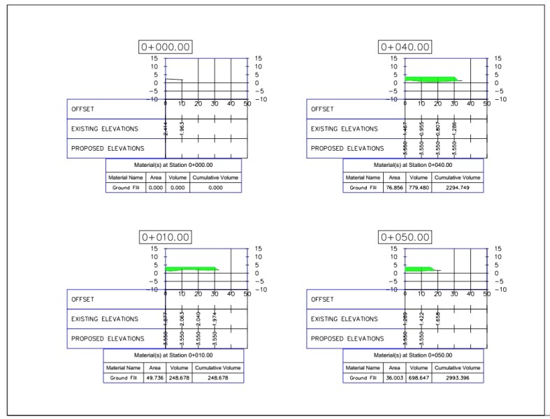
We provide accurate and professional topographic survey services for various needs, including infrastructure planning, construction, and land mapping. With an experienced team and advanced equipment, we ensure precise and reliable survey results.
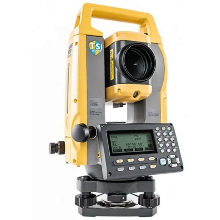
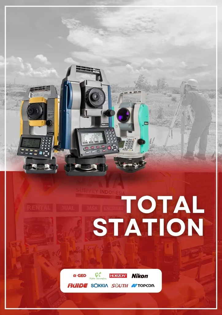
Total Station adalah alat ukur elektronik yang menggabungkan teknologi theodolite dan EDM (Electronic Distance Measurement) untuk mengukur sudut dan jarak dengan presisi tinggi. Alat ini digunakan dalam survey pemetaan, konstruksi, dan infrastruktur.
Total Station is an electronic measuring instrument that combines theodolite and EDM (Electronic Distance Measurement) technology to measure angles and distances with high precision. This tool is used in mapping, construction, and infrastructure surveys.
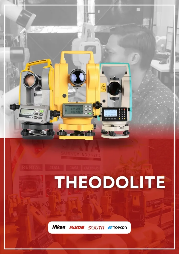
Theodolite adalah alat ukur optik yang digunakan untuk mengukur sudut horizontal dan vertikal dengan presisi tinggi. Alat ini banyak digunakan dalam survey, konstruksi, dan pemetaan untuk menentukan posisi dan elevasi suatu titik.
Theodolite is an optical measuring instrument used to measure horizontal and vertical angles with high precision. This tool is widely used in surveying, construction, and mapping to determine the position and elevation of a point.
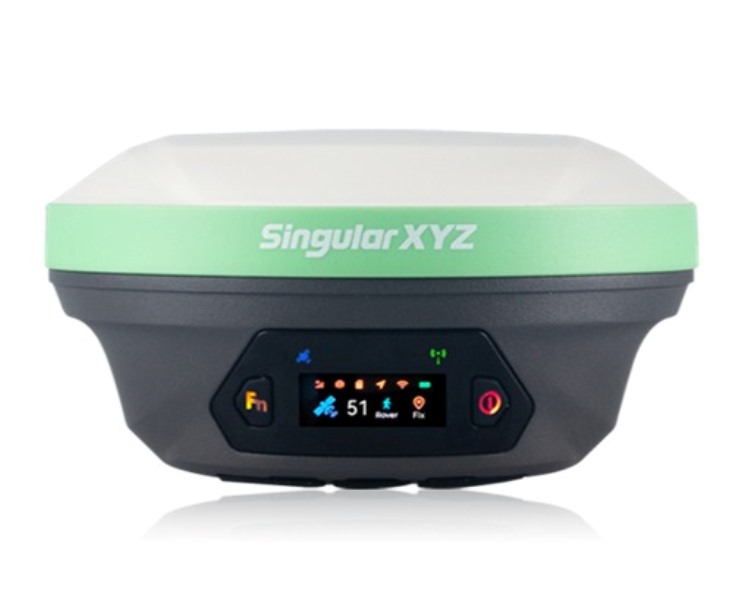
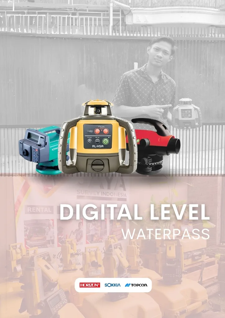
Digital level (waterpass) adalah alat ukur elevasi yang bekerja secara otomatis dengan sensor elektronik untuk meningkatkan akurasi dan efisiensi dibandingkan autolevel manual. Alat ini digunakan dalam survey dan konstruksi untuk perataan tanah, pembangunan jalan, serta proyek infrastruktur yang membutuhkan ketelitian tinggi.
Digital level (waterpass) is an elevation measuring tool that works automatically with electronic sensors to increase accuracy and efficiency compared to manual autolevel. This tool is used in surveying and construction for land leveling, road construction, and infrastructure projects that require high accuracy.
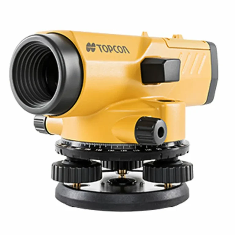
Autolevel (waterpass) adalah alat ukur optik yang digunakan untuk menentukan perbedaan ketinggian antar titik secara akurat dalam survey dan konstruksi. Alat ini banyak digunakan dalam pekerjaan tanah, pembangunan jalan, dan proyek infrastruktur untuk memastikan permukaan yang rata dan sejajar.
Autolevel (waterpass) is an optical measuring instrument used to determine the height difference between points accurately in surveying and construction. This tool is widely used in earthworks, road construction, and infrastructure projects to ensure flat and parallel surfaces.