Photogrammetric Survey

Best Photogrammetric Survey Solutions

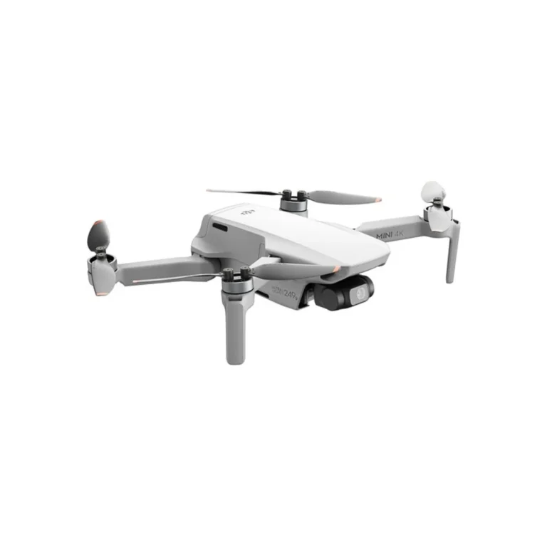
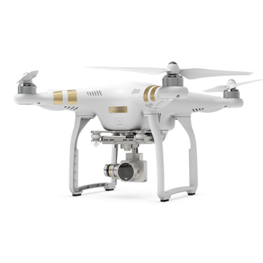
We provide photogrammetric survey services using aerial imagery-based mapping technology to produce accurate and detailed spatial data. By utilizing drones or specialized aircraft, we generate high-resolution topographic information, 3D models, and high-quality maps for various industry needs.

3D Modeling

Environmental Monitoring

Contour Mapping

Natural Resource Exploration

  • High-resolution orthophotos with corrected geometric scales.
  • Topographic and Contour Mapping
  • Digital Elevation Models (DEM, DTM, DSM) for geospatial analysis.
  • 3D Point Cloud data representing the earth’s surface in 3D points.
  • UAV Drone
  • Aerial Cameras
  • Geodetic GPS & GCP
  • Acquisition and Processing Software

Konsultasikan Kebutuhan Anda Sekarang!

Consult Your Needs Now!

Hubungi melalui formulir pertanyaan kami untuk penawaran atau informasi lebih lanjut.

Contact us via our enquiry form for quotes or more information.