Hydrographic Survey

Best Hydrographic Survey Solutions

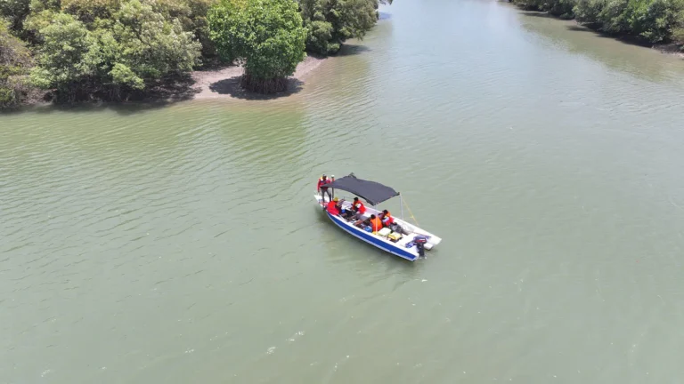
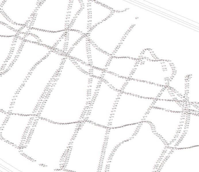
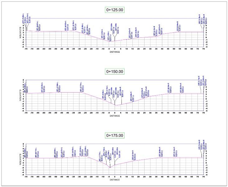
We offer hydrographic survey services for waters mapping and analysis, including rivers, lakes, reservoirs, and coastal and marine areas. Using state-of-the-art technology and experienced professionals, we ensure accurate results that can be utilized for various industrial, infrastructure, and environmental needs.

Bathymetric Mapping

Infrastructure Development

Navigation & Disaster Mitigation

Marine Resource Exploration

  • Bathymetric maps displaying water depth and seabed contours.
  • Digital Seabed Models for underwater morphology analysis.
  • Current & Wave Data for navigation and project planning.
  • Comprehensive hydrographic survey reports.
  • Echosounder
  • Sub-Bottom Profiler
  • Side Scan Sonar
  • Acoustic Doppler Current Profiler
  • GNSS RTK
  • Acquisition and Processing Software

Konsultasikan Kebutuhan Anda Sekarang!

Consult Your Needs Now!

Hubungi melalui formulir pertanyaan kami untuk penawaran atau informasi lebih lanjut.

Contact us via our enquiry form for quotes or more information.