Professional service provider in mapping, measurement, and map-making, with expertise in topographic surveys, photogrammetric surveys, hydrographic surveys, geographic information systems (GIS).
We provide accurate and professional topographic survey services for various needs, including infrastructure planning, construction, and land mapping. With an experienced team and advanced equipment,…
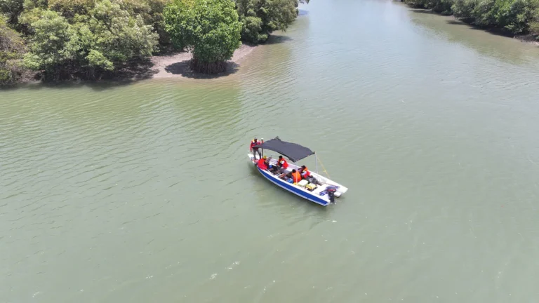
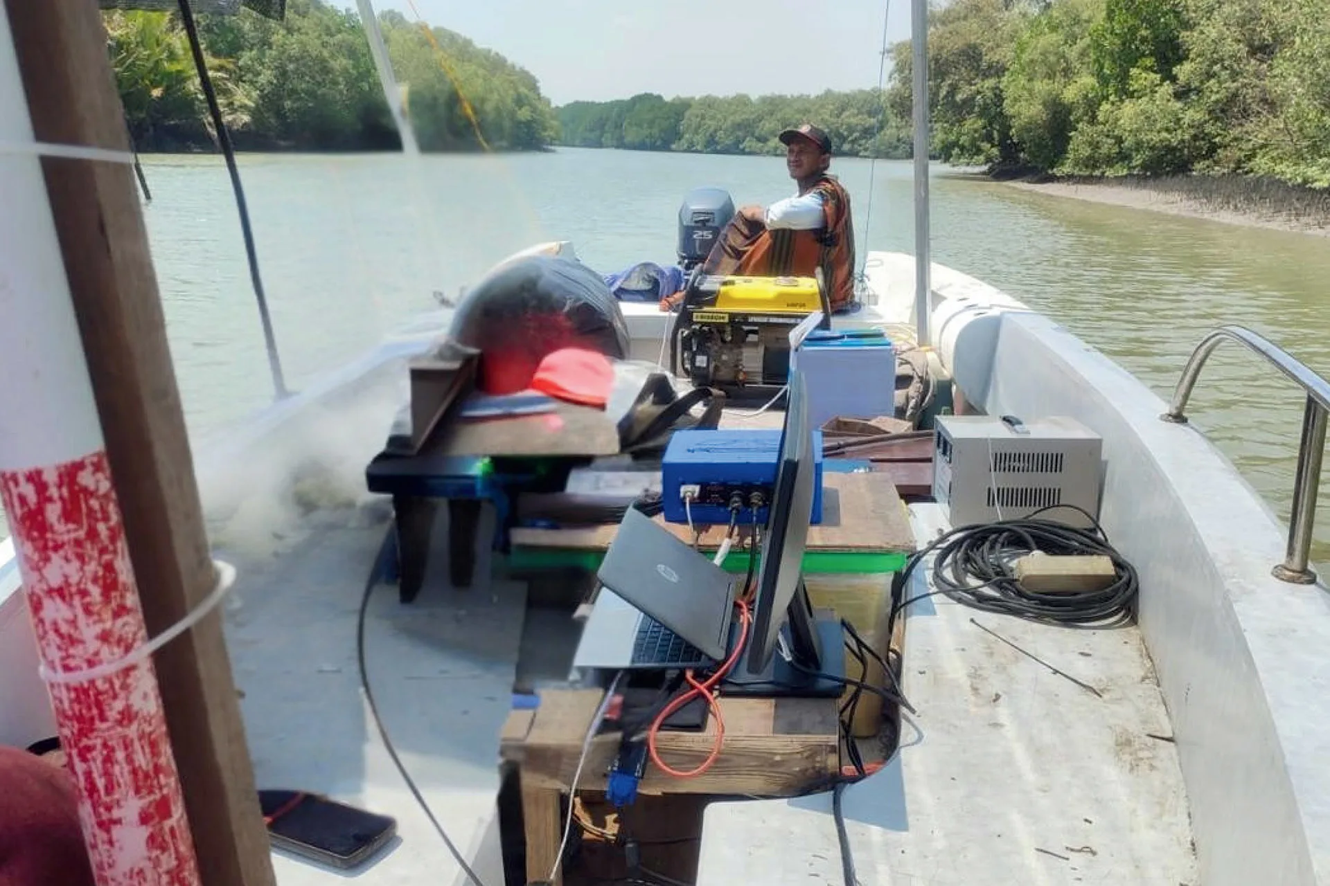
We offer hydrographic survey services for waters mapping and analysis, including rivers, lakes, reservoirs, and coastal and marine areas. Using state-of-the-art technology and experienced professionals,…
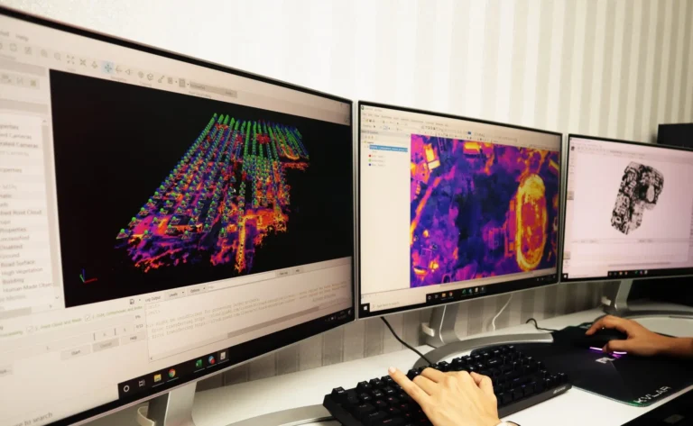
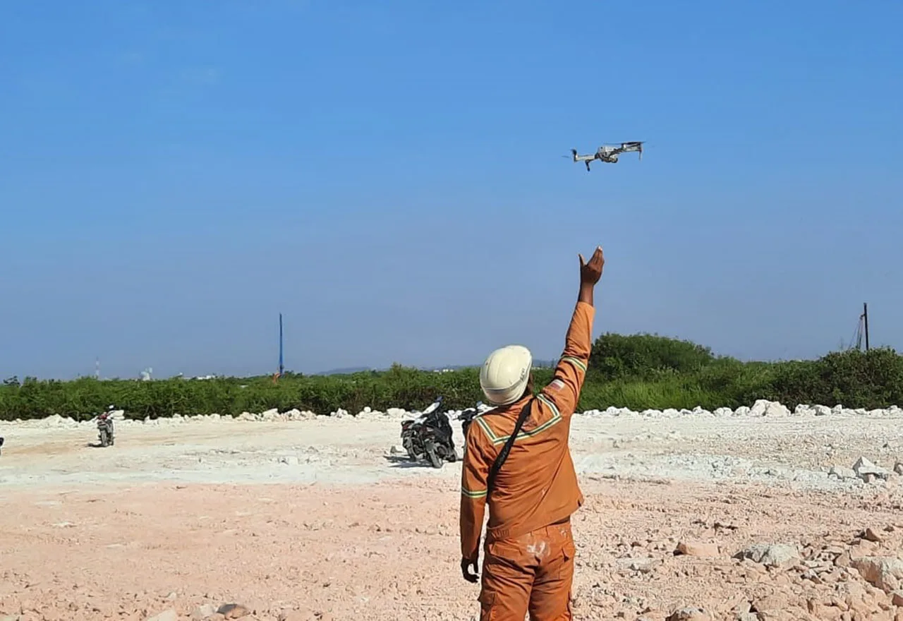
We provide photogrammetric survey services using aerial imagery-based mapping technology to produce accurate and detailed spatial data. By utilizing drones or specialized aircraft, we generate…
We offer Geographic Information System (GIS) services to help manage, analyze, and visualize spatial data to support more effective and efficient decision-making. Using the latest…
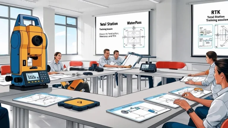
We offer professional training in surveying and mapping to enhance technical skills in measurement, digital mapping, and geospatial data analysis. With experienced instructors and structured…
PT Geodimensi Teknika Utama is proud to collaborate with PT Jaya Survey Indonesia to provide complete and reliable measuring instrument products and services. Through this…
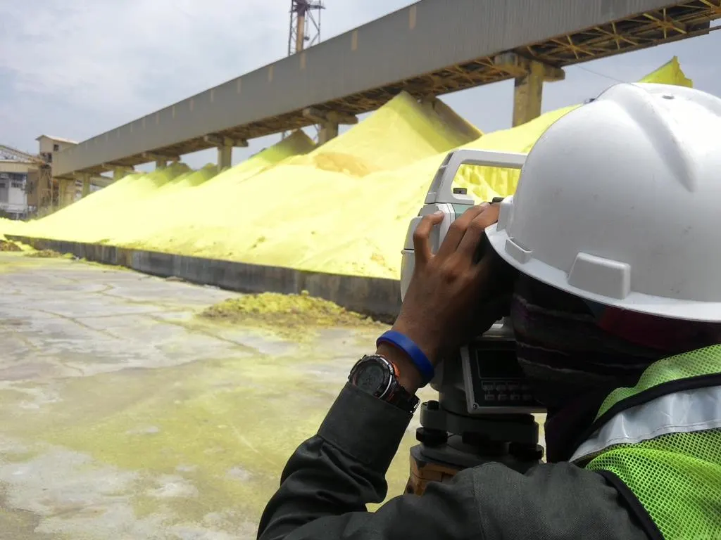
Topographic Survey of Material Volume Measurement Using Total Station
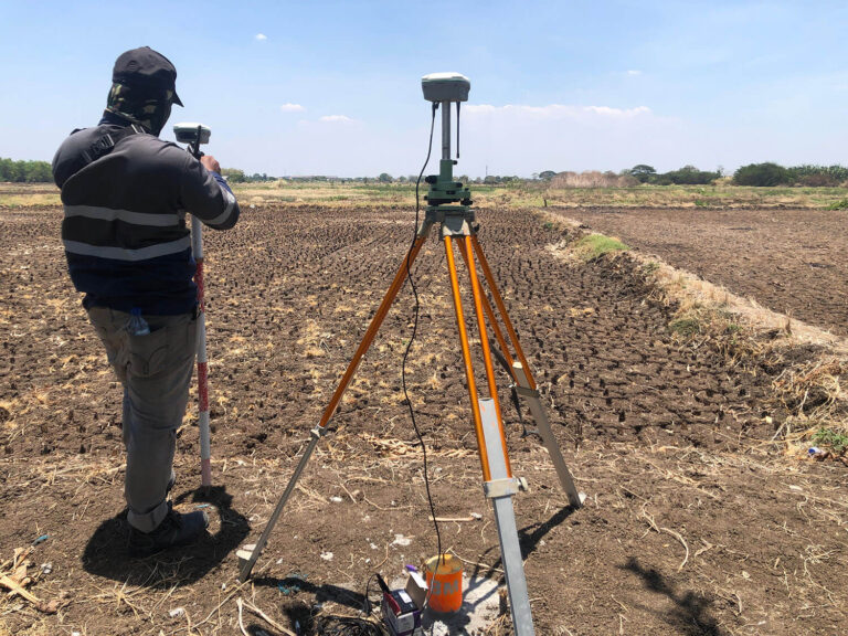
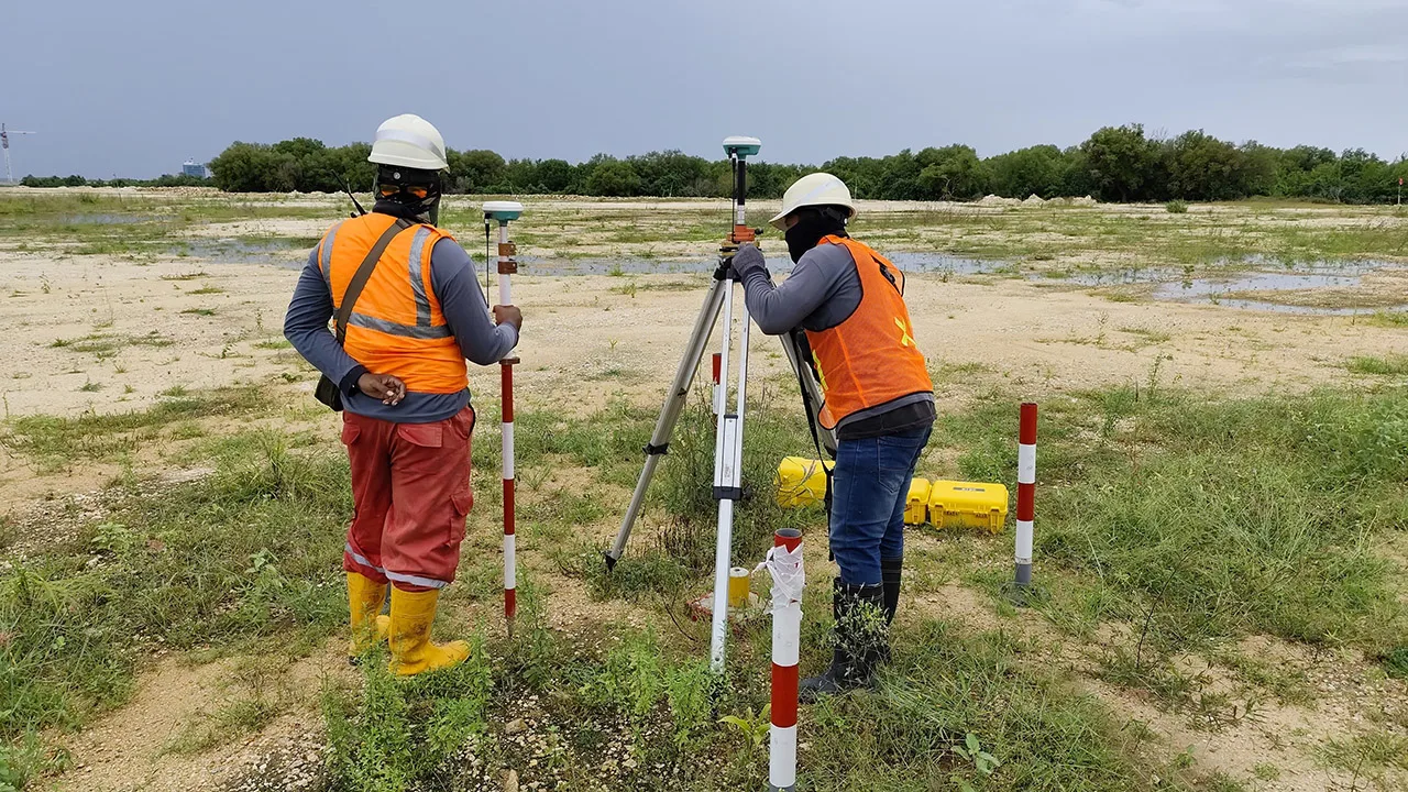
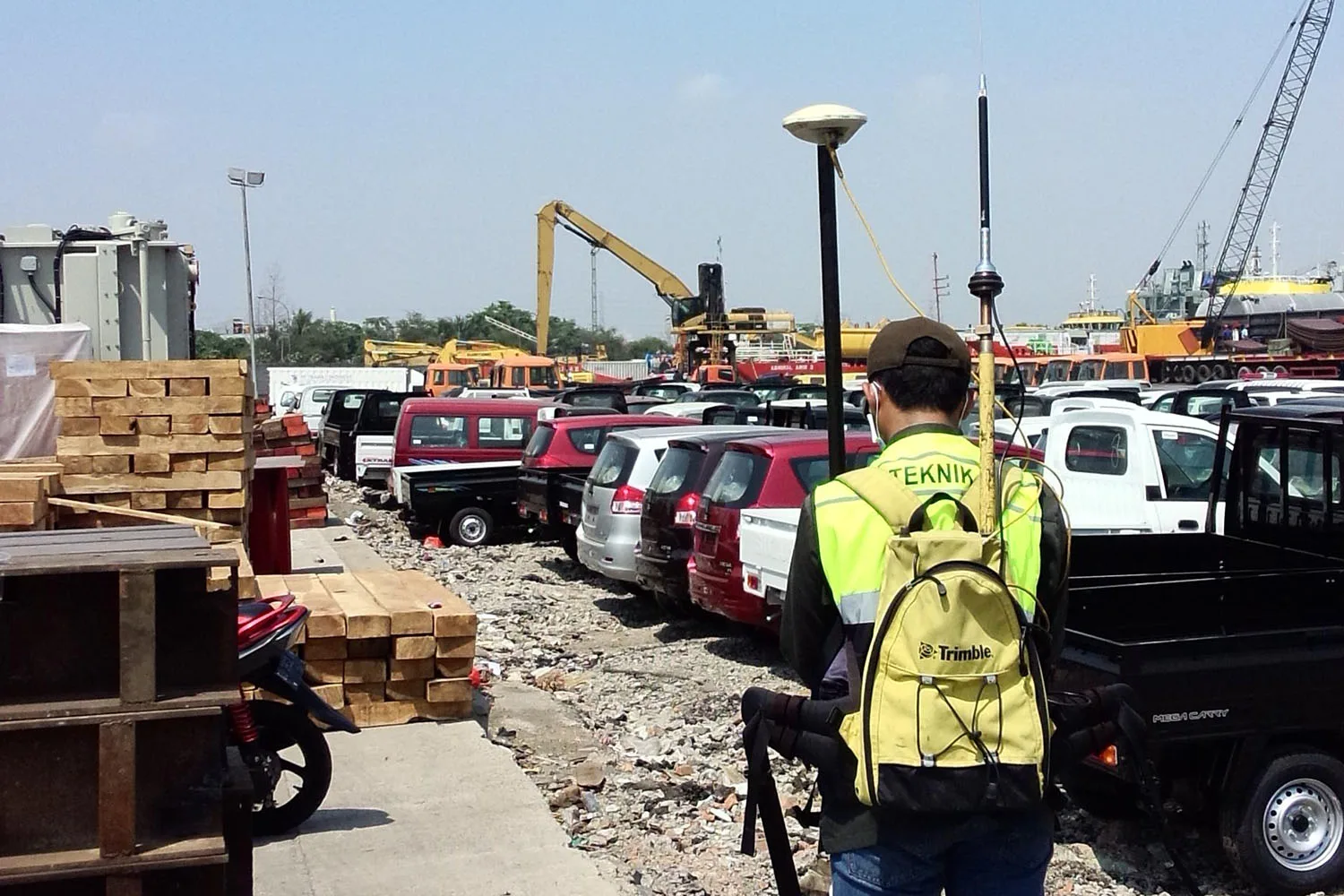
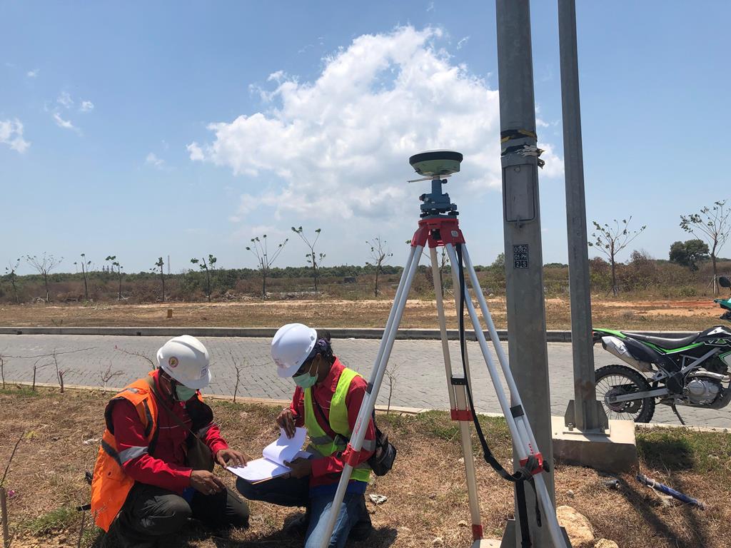
Land Elevation Topographic Survey Using GNSS
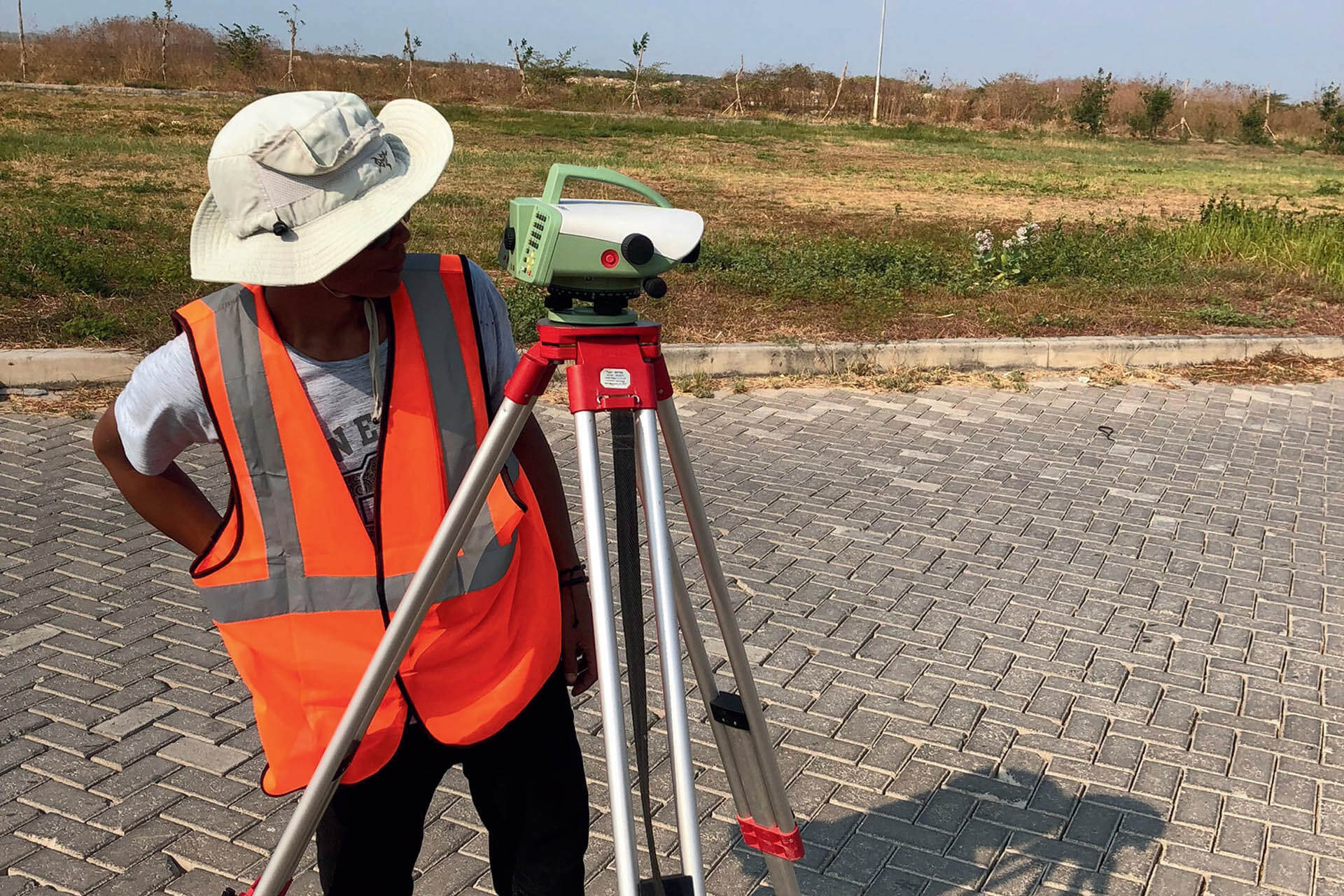
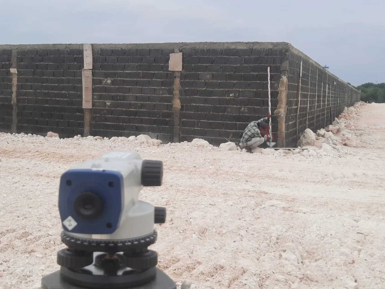
Topographic Survey Road Elevation Monitoring Using Waterpass
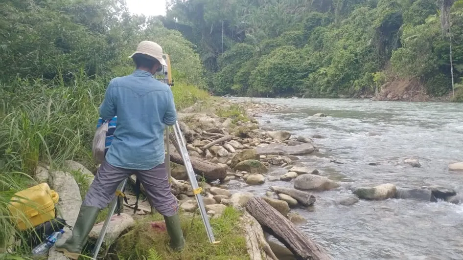
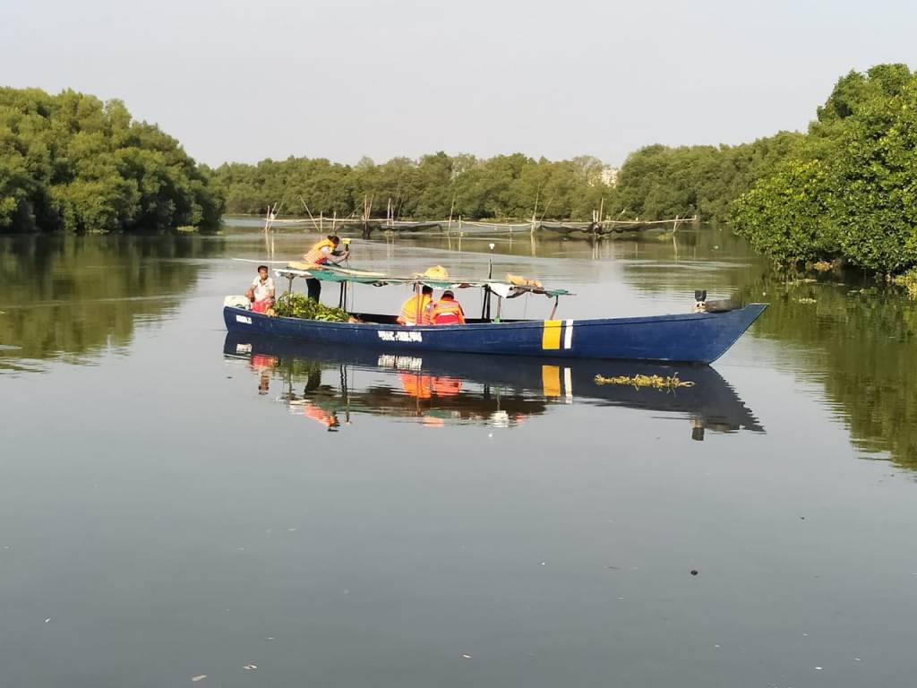
Topographic Survey River Situation Mapping Using Total Station
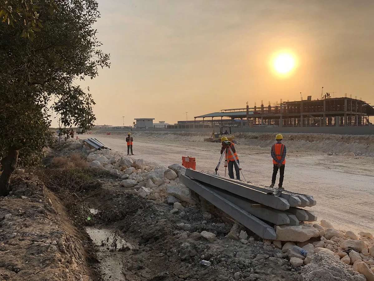
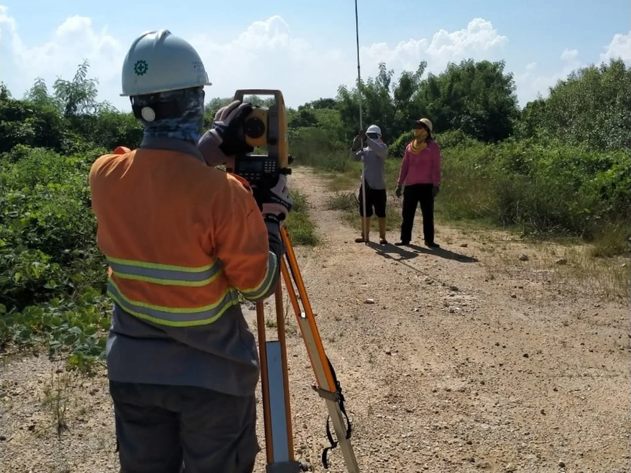
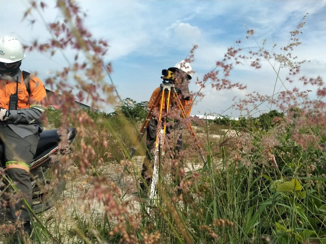
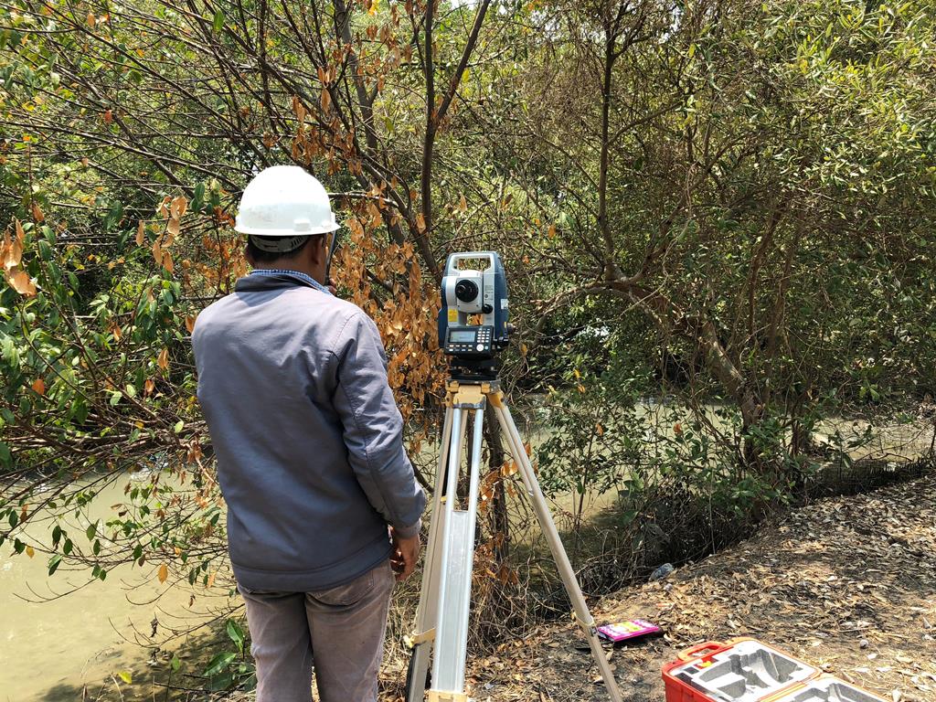
Topographic Survey Land Situation Mapping Using Total Station
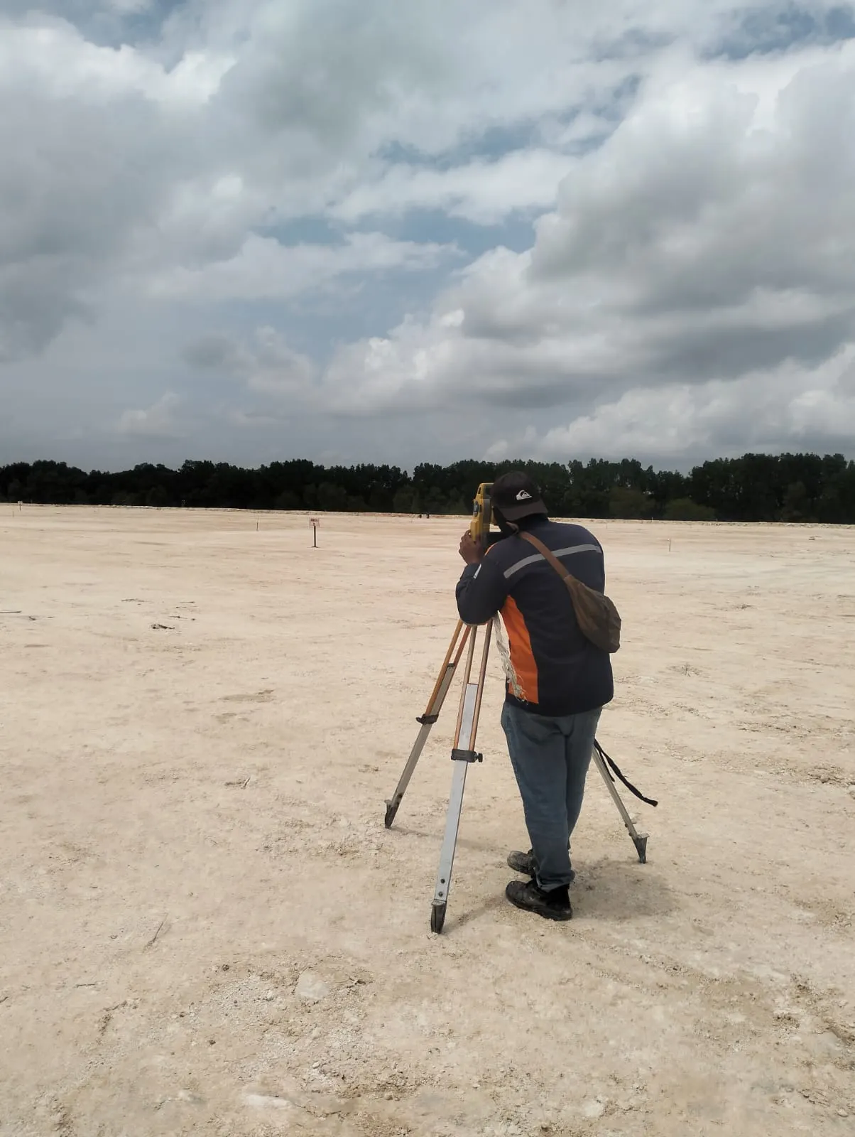
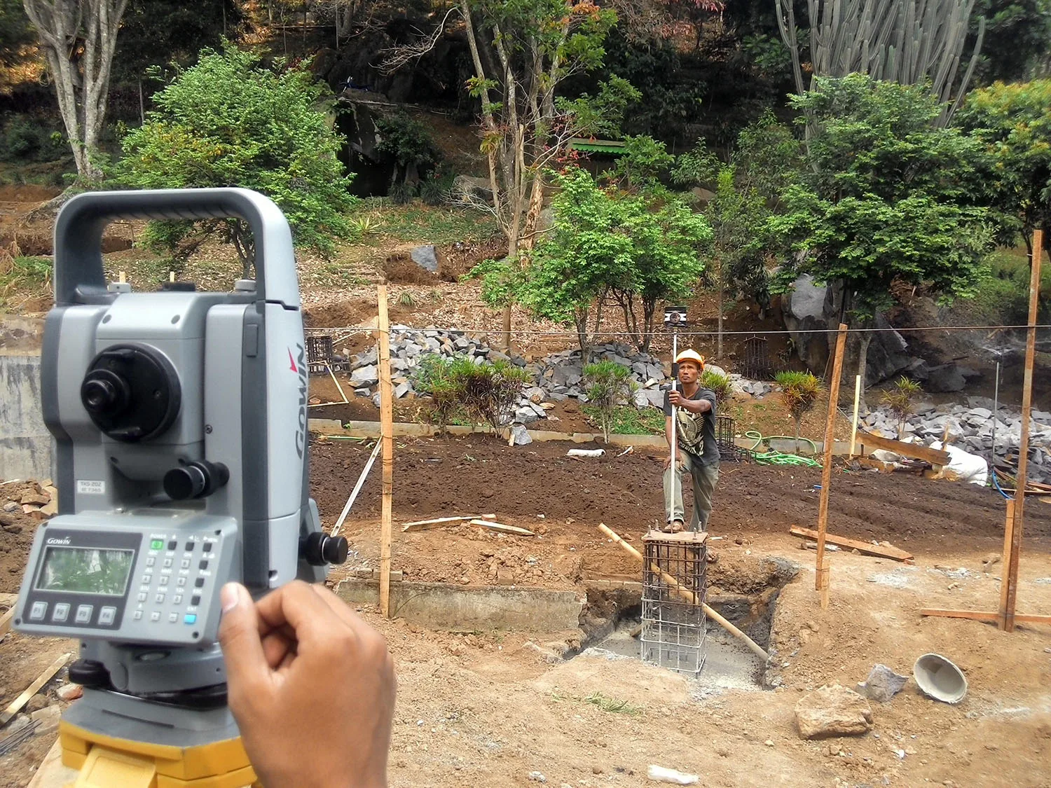
Topographic Survey of Land Elevation Using Total Station
Topographic Survey Land Boundary Stakeout Using GNSS
Topographic Survey Land Situation Mapping Using Total Station
Topographic Survey Road Elevation Monitoring Using Waterpass
Hydrographic Surveys Sea Depth Measurement Using Echo Sounder
Photogrammetric Surveys Contour Mapping Using Drones
Topographic Survey Benchmark Elevation Measurement Using Waterpass
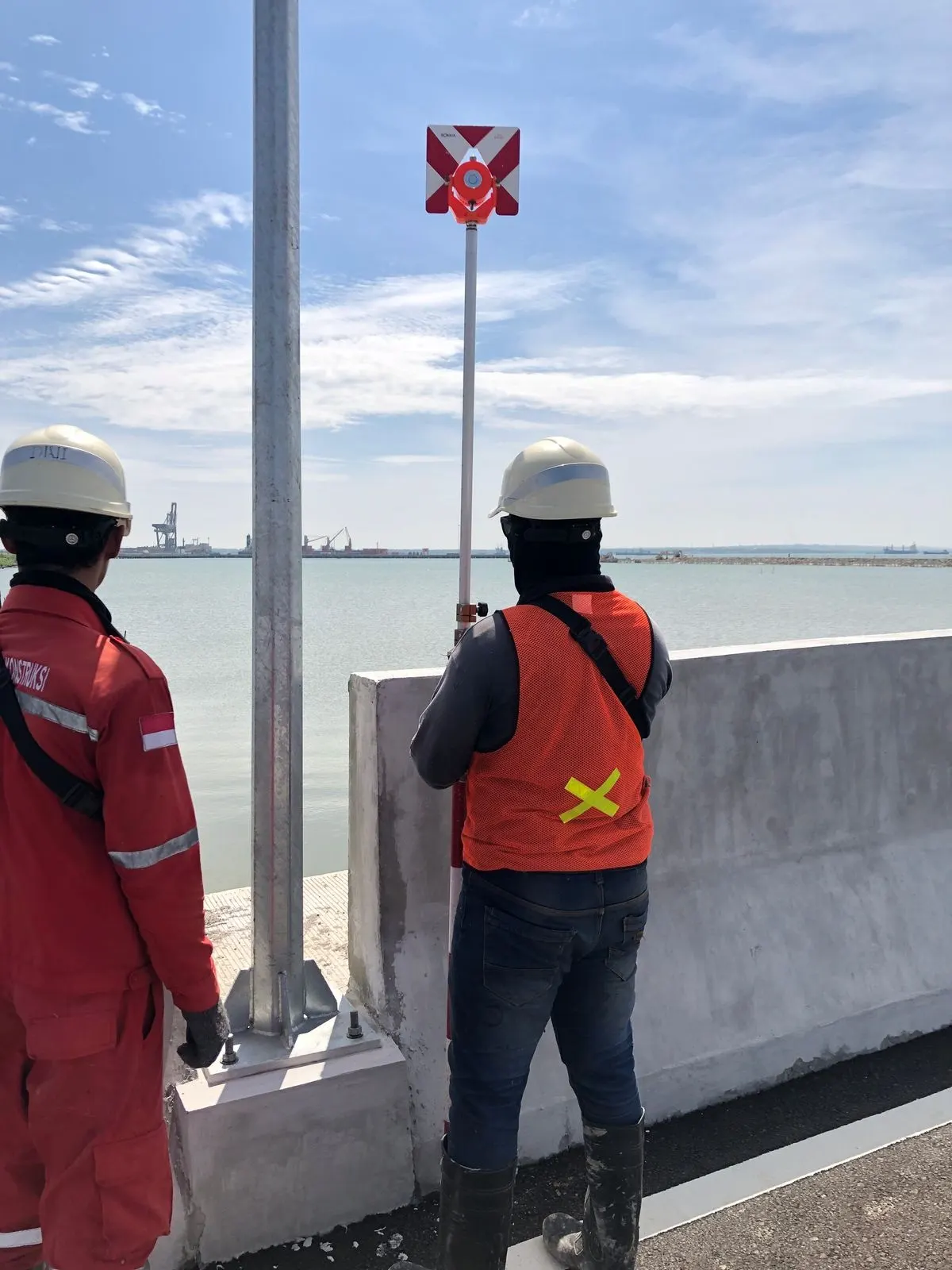
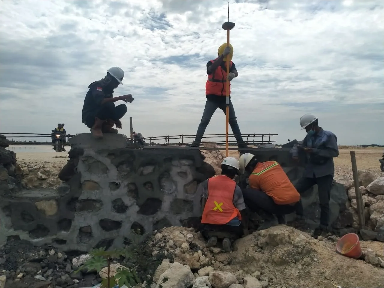
Topographic Survey Column Axis Stakeout Using Total Station
Topographic Survey Land Situation Mapping Using GNSS RTK
Topographic Survey Building Elevation Monitoring Using Waterpass
Hydrographic Surveys Sea Depth Measurement Using Echo Sounder
Static Survey for Benchmark Value Determination Using GNSS
Topographic Survey Land Situation Mapping Using Total Station
Professional
We have experts in the field of survey and mapping and have been trusted by clients
Most Complete
We have a complete and integrated service for all survey projects
Cutting-edge
We are supported by survey equipment with the latest technology that is safe
Efficient
Survey work is carried out with effective time and efficient budget
Your Survey and Mapping Solutions
We had been engaged in the field of surveying and mapping for construction planning, including buildings, roads, bridges, utilities, land, and docks, for over 10 years. We have undertaken various types of projects, including topographic surveys, bathymetric surveys, land mapping, and construction surveys to support various infrastructure projects.