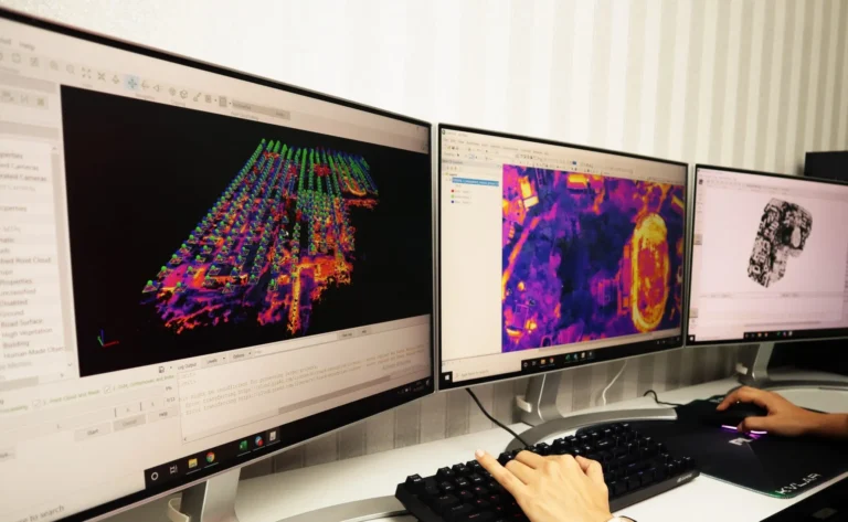
Best Geographic Information System (GIS) Solutions
We offer Geographic Information System (GIS) services to help manage, analyze, and visualize spatial data to support more effective and efficient decision-making. Using the latest GIS technology, we integrate various geospatial data into an interactive and user-friendly digital system.
Urban & Regional Planning
Disaster Analysis & Risk Mitigation
Infrastructure & Transportation Management
Natural Resource Mapping
Decision Support Systems (DSS)
- Interactive Web-Based Digital Maps
- Thematic Maps (land use, disaster risk, population density, etc.)
- Real-Time GIS Dashboards
- Geospatial Databases for various purposes

